
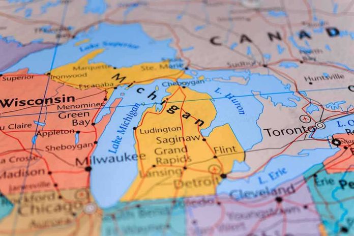
Presidential power can change how the U.S. government names a place overnight, but it cannot make international geography bend to Washington’s will; the Lake Ontario to “Lake America” order is a textbook case where federal standardization collides with cross-border reality.
At a Glance
- President Trump signed an executive order directing U.S. agencies to use “Lake America” instead of Lake Ontario and to update federal naming systems accordingly.
- The order governs U.S. federal usage; it does not bind Canada or international bodies, and Canada has already rejected the change.
- This is the latest in a long lineage of politically charged naming actions whose legal effect is narrower than their symbolism.
- The practical impact is confined to federal maps, databases, and publications; jurisdiction, ownership, and cross-border recognition remain unchanged.
What the order does, and what it doesn’t
President Trump directed the Department of the Interior to substitute “Lake America” for Lake Ontario across federal usage, including updates to the Geographic Names Information System (GNIS), the master database that standardizes names across U.S. agencies. The action is effective for federal documents, maps, and data products; Interior was instructed to implement the change on that basis. This is not a rhetorical flourish. GNIS integration propagates a name across everything from federal web maps and nautical charts to agency reports and environmental datasets, creating a uniform standard inside the U.S. government’s information infrastructure.
What the order does not do is alter how Canada names the lake, how binational boards catalog it, or how international law treats the waterbody. Canadian leaders immediately and publicly rejected the change, underscoring that Ottawa will continue to call the binational lake by its existing name, Lake Ontario. In that sense, the order’s binding force stops at the waterline of U.S. federal usage; Canada’s nomenclature, provincial cartography, and public institutions are unaffected.
Mechanics of federal naming power
To understand why “Lake America” takes hold inside U.S. systems while leaving Canada unmoved, start with the machinery of domestic standardization. The United States Board on Geographic Names (BGN), created in 1890 and strengthened by later executive action, exists to “determine, change, and fix” place names for federal use so that all agencies speak the same cartographic language. That harmonization mandate is why GNIS matters: once a name is set or changed there, federal cartographers, data managers, and program offices converge on it by default.
Congressional research on geographic naming policy has consistently drawn the same boundary line: BGN decisions and Interior directives govern federal usage but do not oblige states, private publishers, foreign governments, or international bodies to follow suit. The point of federal standardization is coherence inside the U.S. government, not extraterritorial control of names on every map a person might see. In practice, when an executive order targets a transboundary feature, federal usage can diverge from external usage for long periods, sometimes indefinitely, unless and until diplomatic coordination yields a shared label.
Why transboundary features are different
Lakes, rivers, and mountain ranges that cross borders are persistent stress tests for unilateral naming. They are shared physical systems administered through overlapping jurisdictions, treaties, and technical bodies; names assigned in one country’s databases are often mirrored—but not mandated—across the line. Scholarship and practice around transboundary naming emphasize coordination with partner authorities and the likelihood of dueling labels when political priorities diverge. “Lake America” fits this pattern precisely: a federally standardized U.S. name set against a Canadian name and international conventions that continue unchanged.
International law does not supply a bright-line rule for naming disputes; rather, it asks whether a state’s action constitutes interference with another state’s sovereignty or violates principles of good neighborliness on the specific facts at hand. A U.S.-internal naming directive for federal usage does not purport to regulate Canadian usage or treaty rights, which is why the legal consequences remain limited while the diplomatic and symbolic resonance can be loud.
Symbolism, policy signaling, and the trade backdrop
The administration linked the renaming to broader tensions with Canada, situating the order amid tariff measures and rhetorical sparring. That context matters for interpreting the move: naming, here, operates as a signaling device in a political dispute rather than as a neutral act of database hygiene. Reuters framed the action as an escalation in a bilateral feud even as it acknowledged the change’s jurisdictional limits. When a President uses the naming apparatus this way, agencies still execute the technical steps—GNIS edits, map updates, style guidance—while allies and adversaries read the gesture for what it communicates about priorities and posture.
Critics in Canada responded in political terms, dismissing the change’s legitimacy and affirming the historical name. That response underscores a recurring dynamic in naming controversies: domestic executive authority can be both real and bounded, and the starker the geopolitical message attached to a naming act, the more resolute external actors become in refusing recognition. The net result is parallel naming regimes for the same feature, each internally coherent and externally contested.
Precedent and the limits of executive reach
American naming fights are not new. Over more than a century, Presidents and Cabinet officials have steered federal usage through executive orders and secretarial directives, sometimes revisiting earlier decisions for political or cultural reasons. The core legal architecture—BGN’s coordinating role and the application of names to standardize federal outputs—has persisted across administrations. Congressional research stresses that such actions standardize federal products but do not themselves alter external recognition; that is the non-negotiable constraint at the heart of this case as well.
A useful way to think about this is cartographic gravity. Inside the federal sphere, GNIS sets the mass around which U.S. maps, charts, and datasets orbit. Outside that sphere—provincial agencies, international hydrographic bodies, commercial publishers—the gravitational pull is weaker, and political resistance can overpower it entirely. “Lake America,” as a label, will appear where federal standards rule the page; “Lake Ontario” will endure where they do not. Both can be true at once because naming authority is layered, not unitary.
Ontario just put up a massive sign on the shore of Lake Ontario that reads, in English and French: Lake Ontario. Now and Always. It went up days after Donald Trump signed an executive order renaming the lake "Lake America."
Trump is losing a trade war he started, so he reached pic.twitter.com/IoMwnvtpmS
— The USA Startup (@theusastartup) August 30, 2026
What to watch next
Three practical questions will shape how visible the change becomes. First, how quickly Interior and the BGN complete GNIS updates and downstream synchronization to major federal map services and charting products. Second, whether U.S.-Canada technical working groups on the Great Lakes adopt any dual-label convention in binational materials—a step that would not concede the point but would acknowledge the divergence. Third, how aggressively federal communicators enforce usage guidance across agencies and grantees, which determines how consistently “Lake America” surfaces in reports, permits, and environmental assessments. None of these steps alters sovereignty or water management frameworks; all of them affect what the public sees and, over time, what feels normal.
Sources:
abcnews.com, bbc.com, theguardian.com, reuters.com, cnn.com, kalali.me, en.wikisource.org